

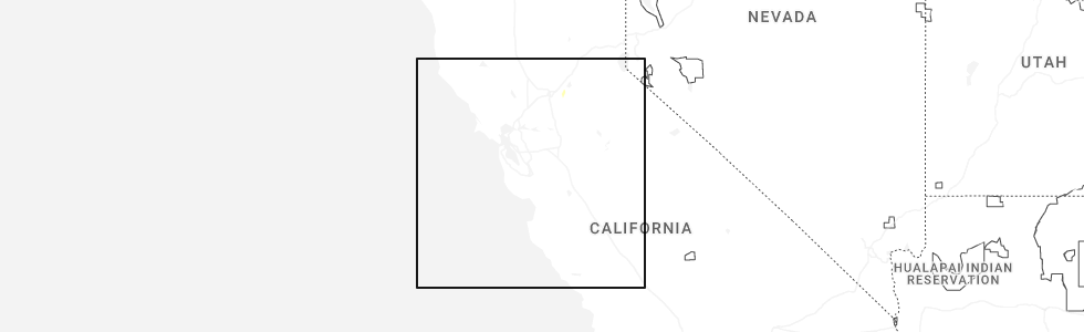
Hail Map for Thursday, December 25, 2025
Number of Impacted Households on 12/25/2025
0
Impacted by 1" or Larger Hail
0
Impacted by 1.75" or Larger Hail
0
Impacted by 2.5" or Larger Hail
Square Miles of Populated Area Impacted on 12/25/2025
0
Impacted by 1" or Larger Hail
0
Impacted by 1.75" or Larger Hail
0
Impacted by 2.5" or Larger Hail
Cities Most Affected by Hail Storms of 12/25/2025
| Hail Size | Demographics of Zip Codes Affected | ||||||
|---|---|---|---|---|---|---|---|
| City | Count | Average | Largest | Pop Density | House Value | Income | Age |
Hail and Wind Damage Spotted on 12/25/2025
Filter by Report Type:Hail ReportsWind Reports
States Impacted
CaliforniaCalifornia
| Local Time | Report Details |
|---|---|
| 4:14 AM PST | Tree down blocking the offramp from eastbound interstate 580 to 35th avenu in alameda county CA, 35.6 miles NNW of San Jose, CA |
| 4:25 AM PST | Tree down blocking the offramp from westbound interstate 580 to northbound state route 1 in alameda county CA, 34.5 miles NNW of San Jose, CA |
| 5:06 AM PST | Tree down blocking the westbound lanes of westbound state route 92 at route 3 in san mateo county CA, 28.9 miles WNW of San Jose, CA |
| 5:29 AM PST | Two trees down on diamond mountain road... blocking the entire roadway near diamond mountain ranc in napa county CA, 53.5 miles SE of Ukiah, CA |
| 5:41 AM PST | Large tree down blocking the entire roadway at san antonio avenue and 14th avenu in monterey county CA, 55.1 miles S of San Jose, CA |
| 6:01 AM PST | Tree blocking the slow lane of the san pablo avenue onramp to eastbound california highway in contra costa county CA, 51.5 miles NNW of San Jose, CA |
| 1:09 PM PST | Chp is reporting a tree down across both lanes in sr152 near whitehurst roa in santa clara county CA, 25.6 miles SSE of San Jose, CA |
Connect with Interactive Hail Maps