

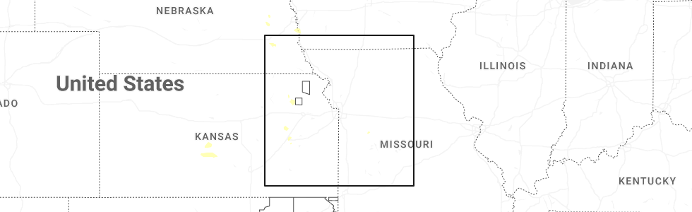
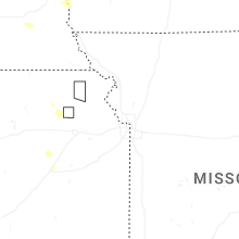
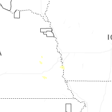
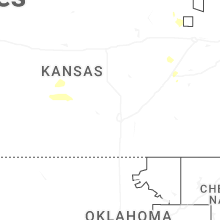
Hail Map for Saturday, July 4, 2026
Number of Impacted Households on 7/4/2026
0
Impacted by 1" or Larger Hail
0
Impacted by 1.75" or Larger Hail
0
Impacted by 2.5" or Larger Hail
Square Miles of Populated Area Impacted on 7/4/2026
0
Impacted by 1" or Larger Hail
0
Impacted by 1.75" or Larger Hail
0
Impacted by 2.5" or Larger Hail
Cities Most Affected by Hail Storms of 7/4/2026
| Hail Size | Demographics of Zip Codes Affected | ||||||
|---|---|---|---|---|---|---|---|
| City | Count | Average | Largest | Pop Density | House Value | Income | Age |
Hail and Wind Damage Spotted on 7/4/2026
Filter by Report Type:Hail ReportsWind Reports
States Impacted
KansasKansas
| Local Time | Report Details |
|---|---|
| 7:01 AM CDT | A personal weather station recorded a 68 mph wind gus in stafford county KS, 65.2 miles SSE of Hays, KS |
| 7:30 AM CDT | A personal weather station recorded a 58 mph wind gust. time estimated via rada in stafford county KS, 68.4 miles SE of Hays, KS |
| 7:33 AM CDT | A personal weather station recorded a 58 mph wind gus in pratt county KS, 76.6 miles W of Wichita, KS |
| 8:22 AM CDT | Measured at the hutchinson airpor in reno county KS, 38.5 miles NW of Wichita, KS |
| 8:24 AM CDT | Measured at the hutchinson airpor in reno county KS, 38.5 miles NW of Wichita, KS |
| 8:48 AM CDT | Estimating 50 to 60 mph gusts for the past 10 to 15 minute in mcpherson county KS, 44.3 miles NNW of Wichita, KS |
| 8:50 AM CDT | One to two inch diameter branches breakin in harvey county KS, 29.4 miles NNW of Wichita, KS |
Connect with Interactive Hail Maps