

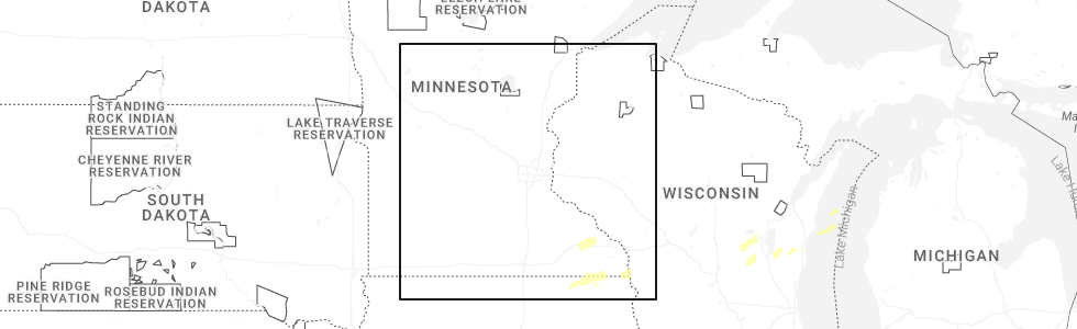
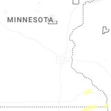
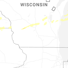
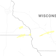
Hail Map for Wednesday, July 1, 2026
Number of Impacted Households on 7/1/2026
0
Impacted by 1" or Larger Hail
0
Impacted by 1.75" or Larger Hail
0
Impacted by 2.5" or Larger Hail
Square Miles of Populated Area Impacted on 7/1/2026
0
Impacted by 1" or Larger Hail
0
Impacted by 1.75" or Larger Hail
0
Impacted by 2.5" or Larger Hail
Cities Most Affected by Hail Storms of 7/1/2026
| Hail Size | Demographics of Zip Codes Affected | ||||||
|---|---|---|---|---|---|---|---|
| City | Count | Average | Largest | Pop Density | House Value | Income | Age |
Hail and Wind Damage Spotted on 7/1/2026
Filter by Report Type:Hail ReportsWind Reports
States Impacted
WisconsinWisconsin
| Local Time | Report Details |
|---|---|
| 7:11 AM CDT | One tree down on galilee roa in waupaca county WI, 50.5 miles WSW of Green Bay, WI |
| 7:39 AM CDT | Trees and powerlines down in the city of appleto in outagamie county WI, 25.9 miles SW of Green Bay, WI |
| 7:44 AM CDT | Storm damage reported in winnebago county WI, 45.8 miles SW of Green Bay, WI |
| 7:45 AM CDT | Trees and powerlines dow in winnebago county WI, 43.8 miles SW of Green Bay, WI |
| 7:53 AM CDT | Trees and power lines dow in calumet county WI, 26.6 miles SSW of Green Bay, WI |
| 8:12 AM CDT | Trees and powerlines dow in brown county WI, 4.5 miles WSW of Green Bay, WI |
| 8:13 AM CDT | Trees and powerlines dow in brown county WI, 1 miles W of Green Bay, WI |
| 8:14 AM CDT | Trees and powerlines dow in brown county WI, 6.4 miles S of Green Bay, WI |
| 8:19 AM CDT | Wire down 1806 oak leaf d in brown county WI, 0.5 miles ESE of Green Bay, WI |
| 8:30 AM CDT | Wires down on main and klondik in brown county WI, 0.5 miles ESE of Green Bay, WI |
Connect with Interactive Hail Maps