

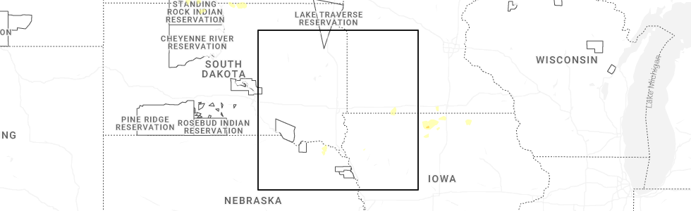
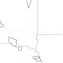
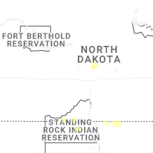
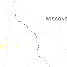
Hail Map for Thursday, July 2, 2026
Number of Impacted Households on 7/2/2026
0
Impacted by 1" or Larger Hail
0
Impacted by 1.75" or Larger Hail
0
Impacted by 2.5" or Larger Hail
Square Miles of Populated Area Impacted on 7/2/2026
0
Impacted by 1" or Larger Hail
0
Impacted by 1.75" or Larger Hail
0
Impacted by 2.5" or Larger Hail
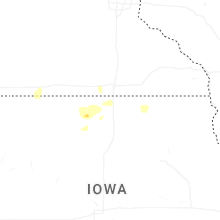
Cities Most Affected by Hail Storms of 7/2/2026
| Hail Size | Demographics of Zip Codes Affected | ||||||
|---|---|---|---|---|---|---|---|
| City | Count | Average | Largest | Pop Density | House Value | Income | Age |
Hail and Wind Damage Spotted on 7/2/2026
Filter by Report Type:Hail ReportsWind Reports
Minnesota
| Local Time | Report Details |
|---|---|
| 7:19 AM CDT | Photos via social media of large tree branches down including one on a hous in jackson county MN, 65 miles NNE of Storm Lake, IA |
South Dakota
| Local Time | Report Details |
|---|---|
| 6:50 AM MDT | Storm damage reported in oglala lakota county SD, 80.8 miles SSE of Rapid City, SD |
Iowa
| Local Time | Report Details |
|---|---|
| 8:50 AM CDT | Via personal weather statio in sioux county IA, 42.8 miles SE of Sioux Falls, SD |
| 9:00 AM CDT | Via personal weather statio in sioux county IA, 49.1 miles NW of Storm Lake, IA |
Connect with Interactive Hail Maps